
Increase the precision of your underwater operations
Accurate positioning is essential for efficient and effective underwater operations. Whether conducting search-and-recovery missions, inspecting underwater structures, or documenting marine environments, knowing exactly where your Remotely Operated Vehicle (ROV) is at all times is critical. With the introduction of the Blueye GPS, we are bringing a powerful, user-friendly solution to Blueye X3 and Blueye X1 users, enabling seamless integration of GPS positioning for enhanced navigation and tracking when the ROV is at the surface.

Accurate positioning - before and after every dive
When preparing for a dive, having a precise reference point is crucial. The Blueye GPS enables users to determine the exact starting position before submerging and ensures accurate repositioning upon resurfacing. This feature is particularly valuable for:
- Object search and retrieval
- Environmental monitoring
- Infrastructure inspection
- Scientific research
By capturing precise GPS coordinates at the surface, the Blueye GPS allows for seamless documentation and geo-referencing of underwater findings.
Simplified mission planning and execution
The Blueye GPS streamlines mission planning by enabling operators to tag points of interest with ease. Simply position the ROV at the surface, obtain a GPS fix within seconds, and pin the location for future reference. Additionally, users can set multiple waypoints within the Blueye App, allowing the ROV to navigate semi-autonomously to specific locations. This feature is particularly beneficial for systematic surveys and repeated inspections.

Seamless integration – both mechanically and in software
The Blueye GPS is designed to work effortlessly with the Blueye ROV. Once connected to a Guest Port, the Blueye App instantly detects the connected GPS and activates the necessary software modules - eliminating the need for manual configuration. This plug-and-play functionality ensures that operators can focus on their mission rather than spending time on complex setups.
Integrated positioning data for enhanced documentation
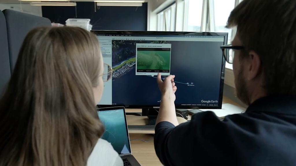
All positioning data from the Blueye GPS is automatically embedded into media files captured during the dive. This ensures that images and videos are geo-referenced, simplifying post-mission reporting and analysis. Users can instantly generate and share dive reports through the Blueye App or export data to Geographic Information System (GIS) tool for more advanced analysis.
Enhanced accuracy combining the GPS with a DVL
For operators requiring even greater precision, the Blueye GPS can be paired with the WaterLinked DVL A50. Combining the sensors on one Guest Port is also available, freeing up space for additional payloads.
This combination enables automatic recalibration and improved dead reckoning navigation. By using the latest known GPS position as a reference, the system ensures accurate positioning throughout the dive. Once the ROV resurfaces, the position data seamlessly converges back to the GPS reference, minimizing drift and enhancing operational efficiency.
Designed for performance and ease of use
The Blueye GPS is specifically engineered for use near the surface. Its slim, streamlined antenna reduces drag and minimizes the risk of tether snags, ensuring smooth and efficient operations. The GPS also provides station keeping features, helping you keep the ROVs position and minimizing the drift while operating in waters with current.
Unlike traditional GPS solutions, the Blueye GPS requires no additional monitors, software, or cables - offering a truly plug-and-play experience. Experience a new level of efficiency and reliability in underwater navigation with the Blueye GPS.


